Pomona Loop
Interactive map
GPS track profile
About this GPS track
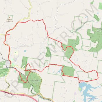
Name: Pomona Loop GPS track, route, trail
Coordinates: -26.38107 152.84856 -26.32025 152.95024
Other GPS tracks
Click on a GPS track to view route, its statistics and profile.
Yurol State Forest - Yurol Road Crossing
Morning Run
Distance: 10.8 Km • Elevation gain: 146 m • Maximum elevation: 130 m
Tinbeerwah - Tewantin National Park - Ringtail State Forest
Australia > Queensland > Tewantin
#MTB #Loop #Tinbeerwah #Tewantin #Ringtail
Distance: 48.7 Km • Elevation gain: 707 m • Maximum elevation: 219 m