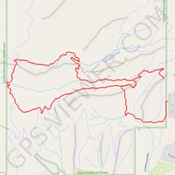
Cold Canyon Loop
Loop MTB via This Way Trail, Madera Locura Trail, Faulty Trail, Armijo Trail, Un Poquito Trail, La Barba Trail and That Way Trail in the Cibola National Forest and the Cold Canyon. #MTB #Loop #Nature #Forest #Mountain
- Distance: 7.6 Km
- Elevation gain: 218 m
- Maximum elevation: 2,330 m
- Elevation loss: 239 m
- Minimum elevation: 2,163 m
- Moving time: 43 m 36 s
- Moving speed: 10.5 Km/h
- Maximum speed: 40.9 Km/h
- Total time: 47 m 26 s
- Global speed: 9.7 Km/h
- Date: 03/05/2024
Interactive map
GPS track profile
About this GPS track
Name: Cold Canyon Loop GPS track, route, trail
Coordinates: 35.14847 -106.39001 35.15658 -106.36728
Other GPS tracks
Click on a GPS track to view route, its statistics and profile.
GoMap__2024_05_12__10_21_17
United States > New Mexico > Bernalillo County > Sandia Haven
Distance: 7.7 Km • Elevation gain: 215 m • Maximum elevation: 2,329 m