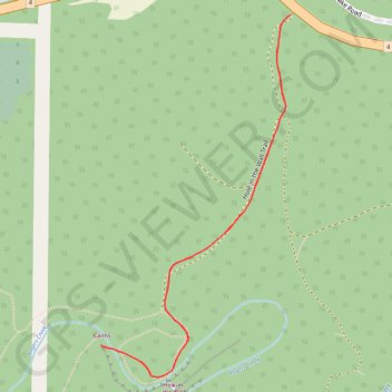
Port Alberni - Hole in the Wall
Alberni Rogers Creek Woodlands. #Hike #AlberniRogers
- Distance: 1.4 Km
- Elevation gain: 50 m
- Maximum elevation: 160 m
- Elevation loss: 50 m
- Minimum elevation: 112 m
Interactive map
GPS track profile
About this GPS track
Name: Port Alberni - Hole in the Wall GPS track, route, trail
Coordinates: 49.26082 -124.74950 49.26519 -124.74599
Other GPS tracks
Click on a GPS track to view route, its statistics and profile.
Sproat Lake - Nanaimo
Canada > British Columbia > Alberni-Clayoquot Regional District > Area D (Sproat Lake)
Distance: 87.0 Km • Elevation gain: 1,273 m • Maximum elevation: 422 m