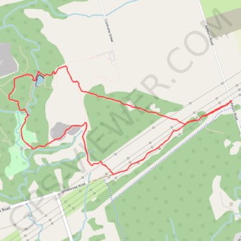
Heber Down Conservation Area Loop
Interactive map
GPS track profile
About this GPS track
Name: Heber Down Conservation Area Loop GPS track, route, trail
Coordinates: 43.92987 -78.98985 43.93838 -78.96567
Other GPS tracks
Click on a GPS track to view route, its statistics and profile.
Scarborough - Cobourg
Lake Ontario. #Bike #Scarborough #Cobourg #Toronto #Ontario
Distance: 107.4 Km • Elevation gain: 717 m • Maximum elevation: 130 m